Land use planning is a complex matter requiring a multidisciplinary set of skills including urban planners, urban designers, geographs, mobility engineers, economists, planners, big data analysts, environmentalists … which are all available in-house.
Notre bureau est en mesure d’aider les responsables du développement régional et urbain à formuler leurs stratégies et à élaborer leurs plans d’action.
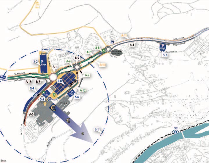
Dans une perspective à la fois systémique et stratégique, nous sommes à leurs côtés notamment dans les domaines de la programmation spatiale, des politiques sectorielles (habitat et logement, services publics, transport et mobilité, économie, etc.), de la logistique régionale et de la protection de l’environnement.
Actuellement, Stratec réalise avec Safège le Schéma directeur régional d’aménagement et de développement durable pour la zone côtière du Cameroun.
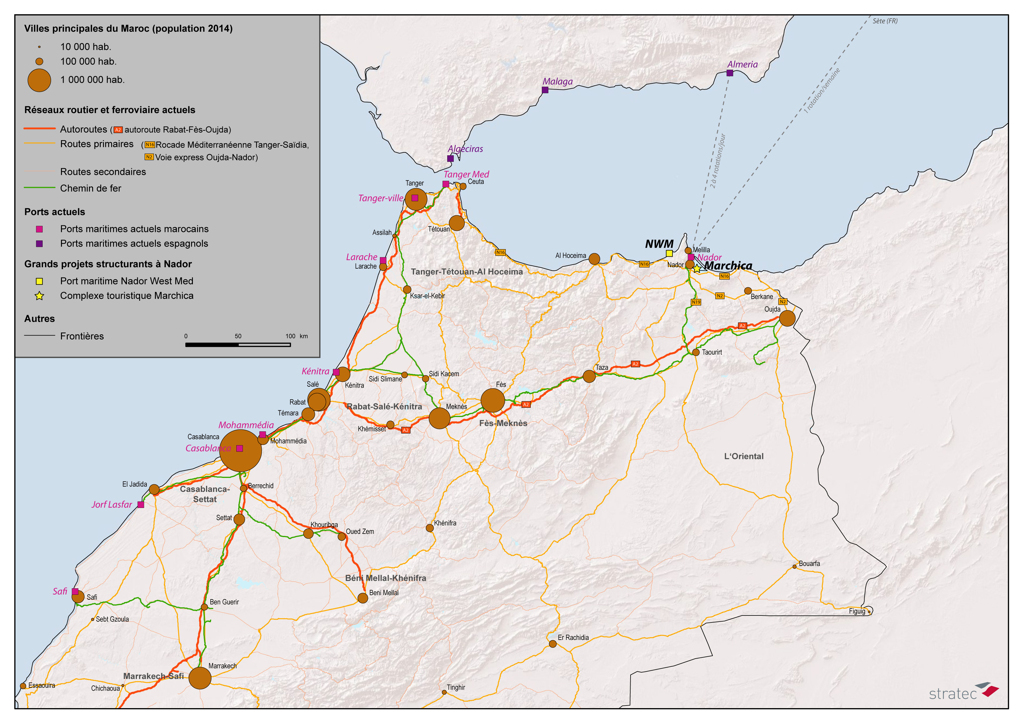
Stratec is also in charge of drawing up a study related to the urban growth of the cities of Marrakesh and Tangier. This study, carried out with the research institute VITO, is based on the refined modelling technique of cellular automation, and has a twofold goal: better comprehend the growth mechanisms and the urban spread, and develop and test policies for a sustainable land use from an economic, social and environmental perspective.
Integrated land use-transport strategy studies
Since the 1990s, Stratec has developed extensive expertise within the domain of integrated Land use -Transport modelling in order to be able to fully take into account the spatial and socio-economic effects of transport systems.
Stratec used this complex modelling method to study the different short and long-term effects that the future regional subway network “REN” in Brussels or the “Grand Paris Express” network in Paris might have on the mobility, the location of households and companies, the spatial socio-economic structure, and the quality of the environment.
The combined effects of the accompanying measures relating to regulation, tariff setting transport, parking) and allocation and taxation of the land use, could also be tested.
In cooperation with the firm David Simmonds Consultancy, Stratec has developed an interregional land use-transport model for France, aiming to evaluate the effects of the “Grand Paris Express” project on the interregional allocation of investments, the economic growth and migration.
European research projects and urban sprawl
Stratec has developed extensive expertise in integrated Land use -Transport modelling and planning, more in specific within the context of several European research projects, which allowed to test a large number of urban policies (ESTEEM, TRACE, EUROSIL, PROPOLIS, SCATTER, SUSTAINCITY).
Stratec has more in particular focused its research on the issue of urban sprawl, and studied as such the underlying mechanisms, the best policies to contain it, and the indicators to be developed, …
All these aspects have been studied within the scope of the research projects SCATTER et SUSTAINCITY. We also applied this specific expertise to local contexts, such as the “REN” in Brussels and the “Grand Paris Express” in Paris.
Our main tools
- Integrated models Land use/Transport: software packages Tranus, Delta, UrbanSim
- Geographic Information Systems: software packages QGis, ArcGis, Mapinfo
Some key references :
View moreRépublique du Cameroun
2017 - 2018
Schémas d’aménagement régionaux au Cameroun
SOFICO
2016 - 2016
Etude socio-économique du projet de mise au gabarit autoroutier de la N5 entre Somzée et Frasnes (Couvin)
Société du Grand Paris
2014 - 2018
Modèle interrégional “usage du sol – transport” pour la France métropolitaine
IDEA
2014 - 2014
Participation à l’élaboration du schéma-directeur en matière de mobilité et d’aménagement du territoire sur une partie du territoire du Cœur du Hainaut , autour de la N51
Royaume du Maroc
2017 - 2018
Modélisation de la croissance urbaine des villes de Tanger et de Marrakech
Presentation - FrenchService Public de Wallonie
2017 - 2018
Rapport d’incidences environnementales (RIE) du Schéma de développement du territoire de la Wallonie
Presentation - French


